Palo Duro Canyon was formed by the erosion of shale and sandstone, and we enjoyed seeing the many layers that had been exposed.
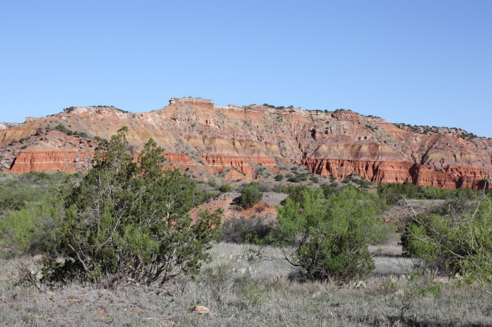
During the erosion process, occasional pillars of rock (called hoodoo's) are left behind.

At about the 1.8 mile mark, we got our first look at the Lighthouse formation.

At the 2.2 mile mark there was a nice viewpoint.

We went the full 3 miles, and with a final (steep) effort we found ourselves up on the mesa next to the Lighthouse!


We walked around on top a bit, and enjoyed a break with a great view of the "back" of the Lighthouse.

It was a great hike, but we still had 3 miles to get back to the truck. Check our next post for some of the critters we enjoyed on the walk down!

No comments:
Post a Comment